Painted Desert covers an area 120 miles long by 60 miles wide (190 by 97 km) starting from Cameron, AZ, near Grand Canyon National Park, and extending past Holbrook, AZ. It was discovered in the 16th century by Spanish explorers who named it “El Desierto Pintado”.
Most of Painted Desert now lies within the boundaries of the Navajo Nation. A small part of it is within Petrified Forest National Park, divided by Interstate 40 into northern and southern parts. Petrified Forest of course contains many deposits of petrified wood, although a lot of it had been looted and carried away before the place became a National Monument in 1906 and a National Park in 1962.

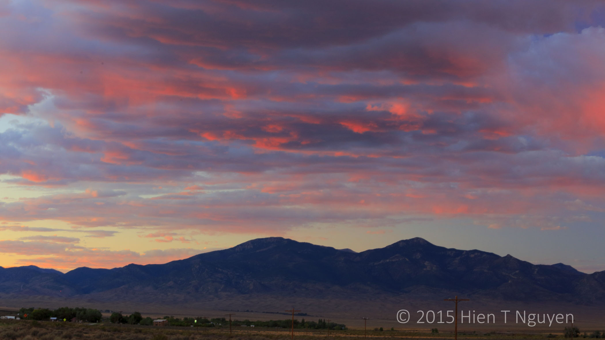
Arizona sunrise over Painted Desert.

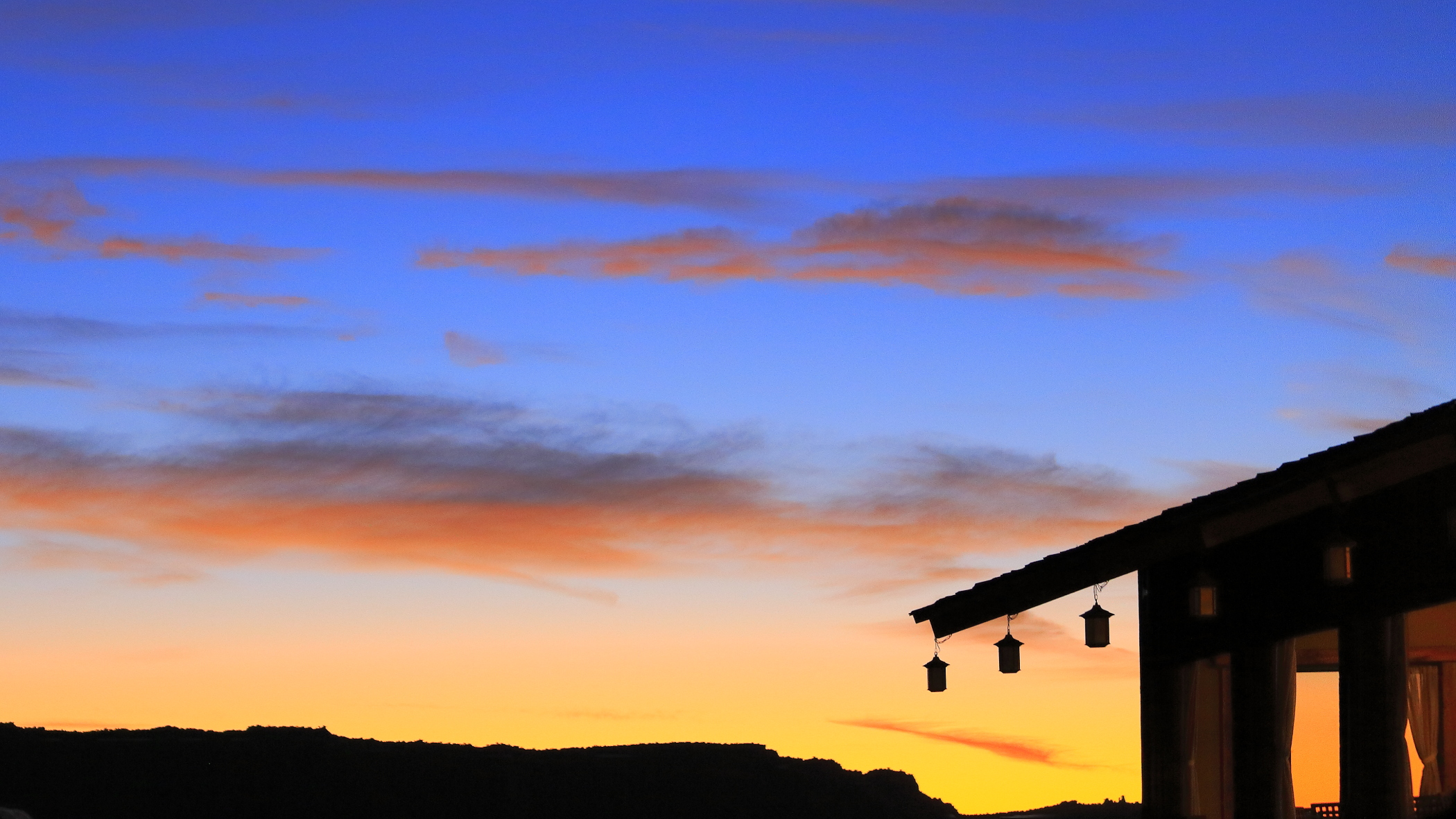
Arizona sunrise over teepee outside of Petrified Forest National Park.

Visitors admiring park ranger horses at Visitor Center in Petrified Forest National Park.

View of Painted Desert in northern section of Petrified Forest National Park.
Painted Desert lies within the Chinle Formation which consists of sedimentary rocks dating back 200 million years ago. Its colors range from red, orange, and yellow to blue, lavender, and purple, depending on the rate at which minerals were deposited. Rapid deposits lead to colors like lavender, blue, gray while slower deposits produce the red and yellow seen in the northern part of the park.

View of Painted Desert in northern section of Petrified Forest National Park.

View of Painted Desert at Blue Mesa in southern part of Petrified Forest National Park. Small pieces of rock are petrified wood.

Rock formations named Teepees in southern part of Petrified Forest National Park.

A piece of petrified wood in southern part of Petrified Forest National Park.

Whipple Cholla Cactus at Petrified Forest National Park.
People have lived in Painted Desert for as long as 13,000 years and have left their imprints on the landscape. Ancestral Puebloans built houses, entire villages, and carved petroglyphs on rocks. I took the following photos at Newspaper Rock, which is not one rock but several containing as many as 650 petroglyphs.

Petroglyphs at Newspaper Rock in southern part of Petrified Forest National Park.
Visitors were not allowed to walk down to the rocks, and high noon lighting was not the best, but the petroglyphs were still clearly visible.

Petroglyphs at Newspaper Rock in southern part of Petrified Forest National Park.
Finally, the Wigwam Motel where we stayed is on the National Register of Historic Places. It was built in 1950 and its accommodations are rather austere by today’s standards, but it was really striking and the price was right!

View of a teepee at Wigwam Motel in Holbrook, AZ. Antique cars on site belong to the motel owners.